Our Land Surveying Services
At Cantrell Survey, we bring over 40 years of multi-state field experience to deliver precise, legally binding, and court-admissible results. Based in Lebanon, Kentucky, we combine deep historical deed knowledge with modern, high-precision equipment to protect investments of every size.
Whether you are a homeowner installing a fence, a farmer splitting a tract, or a developer breaking ground, we provide the accurate data you need.
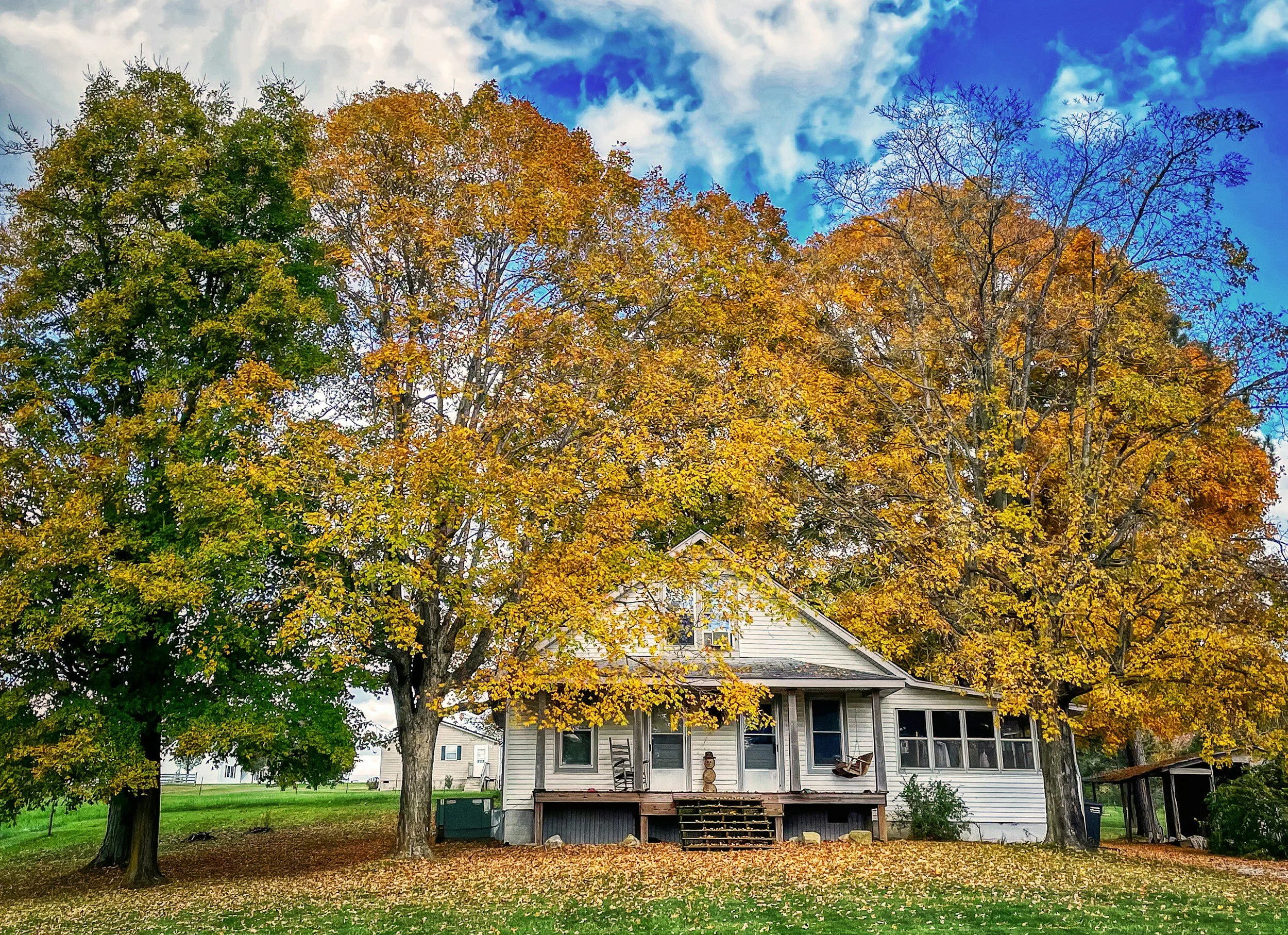
Before you buy a home, put up a fence, or build an addition (like a garage, deck, or pool), you must know exactly where your property limits sit. We locate original iron pins, resolve discrepancies with neighboring tracts, and clearly mark your true lines on the ground with high-visibility flagging. A certified residential survey ensures your project complies with local county zoning setbacks and prevents costly disputes with neighbors.
Best For: Home buyers, sellers, fence installers, and residential contractors.

Residential Boundary Surveys
Protecting your yard, your budget, and your peace of mind.
Land Subdivisions & Family Splits
Navigating local planning and zoning regulations for you.
If you want to divide a piece of land to sell off a parcel or pass a portion of the family farm down to the next generation, local planning commissions in Kentucky and Tennessee require a formal process. You cannot legally split or transfer a partial tract on a handshake. We guide you through this process seamlessly, creating the precise maps, certified plats, and legal descriptions required by county officials to approve and record your new lots.
Best For: Families passing down land, property owners looking to sell off small acreage, and local developers.

Agricultural & Large Farm Tracts
Deciphering historical boundaries across Central Kentucky.
Large acreage and rural farms often rely on ancient "metes-and-bounds" deeds that reference long-gone trees, old rock piles, or forgotten fence lines. Backed by decades of experience dating back to 1984, we specialize in tracking down elusive physical evidence to establish definitive boundaries for vast rural properties. We ensure your timberlines are secure, your fence investments are in the right spot, and your family's legacy is legally protected.
Best For: Farmers, rural land owners, timber harvesters, and estate planners.

Every piece of land is entirely unique. Contact Cantrell Survey today for a consultation on your property lines, and let us help you protect your real estate investment.
Commercial & ALTA/NSPS Surveys
Elite, high-precision data for developers, lenders, and title companies.
Commercial real estate transactions demand the highest tier of geometric precision. We provide comprehensive ALTA/NSPS Land Title Surveys that meet rigorous national standards to remove boundary exceptions from title insurance policies. Our commercial services include detailed topographic mapping, utility location tracking, and construction staking to keep your commercial development moving forward smoothly, on schedule, and entirely within legal limits.
Best For: Real estate attorneys, commercial lenders, developers, and engineers.
Ready to Get Started?